Search for a Kentucky lake map and most of what you find is built for someone with a boat. The maps mark ramps, marinas, channel markers, submerged timber and the deepest basin of the lake. A family with two kids, a cooler and folding chairs needs different information: where the car goes, how long the walk is, whether the bank is open, and whether fish-holding water is within reach of a cast.
This guide sorts the best Kentucky fishing maps for bank anglers by the question each one answers. It ends with a short routine you can run on any lake before you load the car.
Why most fishing maps were drawn for boats, not for your lawn chair
A boat can reach almost any part of a lake, so a boater’s map spends its detail on the middle: depth, structure, hazards, and the ramps that get you onto the water. The shoreline is a thin outline at the edge, and it rarely says whether you can stand on it.

For a bank family, that edge is the whole trip. The useful details are small and local: a gravel pull-off, a gate, a fishing pier, a steep rock slope, a stretch of bank packed with brush. Those details show up on different kinds of maps, and no single map has all of them. Learning which map answers which question lets you build the full picture from home in a short evening.
The four questions a bank-fishing family needs a map to answer
Before opening any map, know what you are asking it. There are four questions:
- Where do we park? You need a legal, safe place for the car that is close to the water.
- How far do we walk? With young kids, a short, flat walk can decide whether the day goes well. Carrying a tackle kit, chairs and a cooler makes distance matter more.
- Is the bank open to us? Some shoreline is public. Some is private property, a marina, a boat-only area or a closed zone.
- Is deeper water within casting range? Fish often hold where the bottom drops off, and a beginner’s cast is shorter than you expect.
Each map type below is good at one or two of these and weak at the rest. The routine at the end combines them.
Official lake and access maps: what to look for and how to read them
Official maps are your best answer to “is the bank open?” Two sources matter most in Kentucky. The state fish and wildlife agency publishes lake information, and many lakes have access details such as ramps, fishing piers and bank-fishing areas. Many of the larger reservoirs are managed by the U.S. Army Corps of Engineers, which publishes lake maps and recreation area maps showing campgrounds, day-use areas, parking, restrooms and trails.
When you open an official map, look for these:
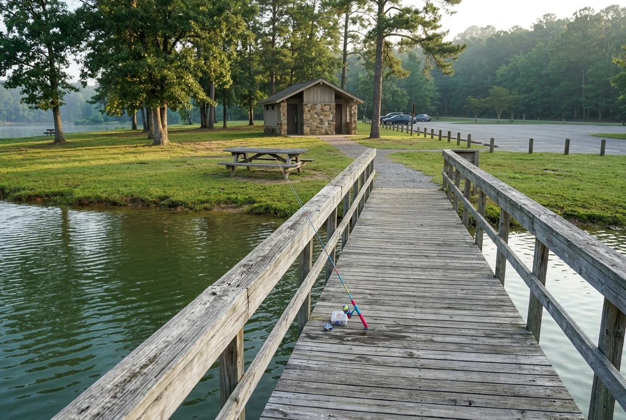
- Day-use and recreation areas. These usually have designated parking, and they are often built for people who want to walk to the water.
- Fishing piers and docks marked for public fishing. A pier removes the slope, the brush and the mud, which makes it the easiest place for small kids to fish.
- Symbols for restrooms and picnic tables. They tell you the area is set up for families who stay a few hours.
- Closed or restricted zones. Swim beaches, dam areas and boat-only sections may be off limits for fishing. The legend and any notes on the map explain this.
Read the legend first. Every map uses its own symbols, and a small icon you assume means “fishing access” may mean something else.
Official maps are weak on bank slope and on what the shoreline actually looks like. They show that an area exists, not how it feels to stand there with a six-year-old. That comes next. If you are still choosing between two public areas, the post on what to do when the closest bank is crowded covers how to decide.
Satellite map apps: spotting parking, bank slope and open shoreline from your couch
A satellite view in a free map app is the fastest way to turn an official map into a picture. Zoom in on the area you found and check four things.
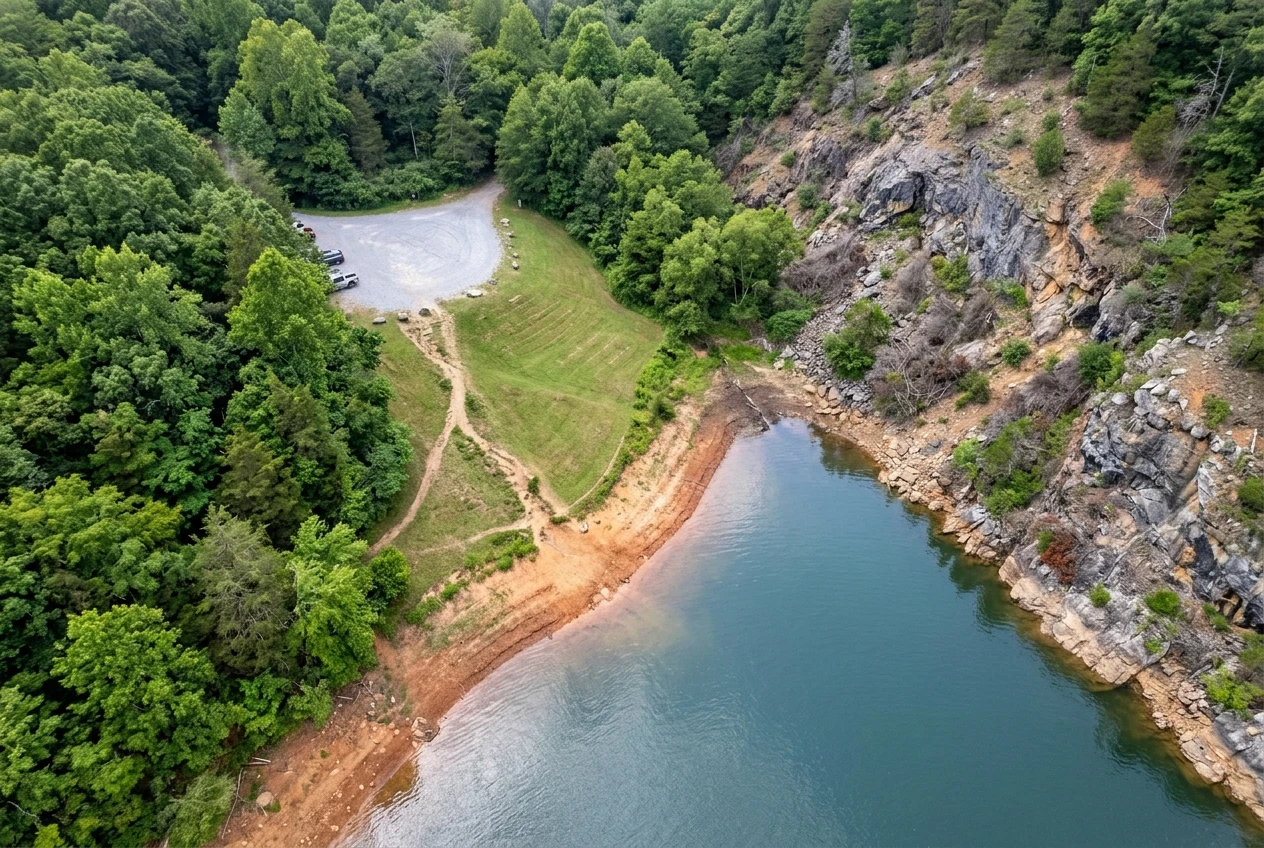
Parking. Look for a paved or gravel lot near the water, and measure the distance from the lot to the shoreline using the app’s measuring tool or the scale bar. A lot that touches the bank is a different trip from one that sits at the end of a long trail.
Bank slope. Bare, flat ground leading to the water suggests an easy bank. A steep slope shows up as shadows, rock edges or trees leaning over the water. If the app offers street-level photos near the lake, use them to see how steep the bank is.
Open shoreline. Dense tree cover right at the water’s edge means snagged line and tight casting room. Wide open grass or gravel means space for children to cast without hitting anything behind them.
Signs of use. Worn paths, trampled gravel and cleared patches are often a sign that other people already fish there, which means the bank is probably accessible.
There are limits. Satellite images can be a year or more old, and the water level in the photo may not match the water level when you arrive. Reservoirs rise and fall through the year, so a bank that looks wide and walkable in one image may be underwater, or a long muddy flat, in another season. Treat what you see as a good guess and confirm the important details on an official page.
Depth and contour maps: how to use them from shore without a boat
A depth map, also called a contour map, uses lines to show how the bottom of the lake changes. Each line connects points of equal depth. Where the lines are close together, the bottom drops steeply. Where they are far apart, the bottom slopes gently.
For a bank angler, one thing matters: how close the deeper water is to where you will stand. Find the shoreline spot you picked, then follow the lines outward. If the lines bunch up near the bank, deeper water is close and a short cast can reach it. If the lines are widely spaced, the water stays shallow for a long way, and a kid’s cast may never reach the drop.
A few practical points for using contour maps from shore:
- Look for points and the edges of coves. The shoreline bends, and a point that sticks out into the lake often puts you closer to deeper water than a flat stretch of bank.
- Don’t chase the deepest spot on the map. That part of the lake is for boaters. You only need the first drop near your feet.
- Check the date and the water level. Contour maps show a bottom that can shift over time, and the depth numbers depend on the lake level when the map was made.
If you want to understand what to do once you are standing there, the post on where to cast first from the bank picks up where the contour map leaves off.
Paper and printed maps: why one in the glove box still earns its spot
Phone signal at a lake can be weak or missing, especially in the hollows and near dams. A map that needs a connection to load stops working at the moment you need it.
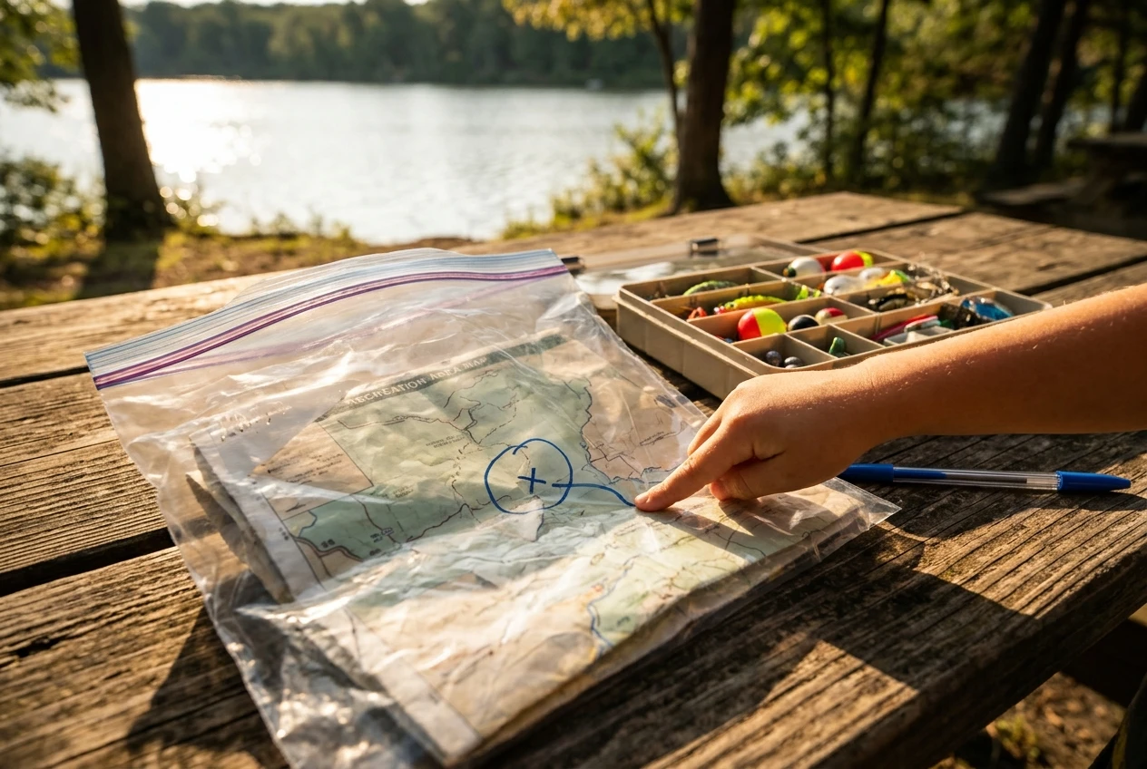
A printed map solves that. Print the official recreation area map, or screenshot the satellite view with your parking spot and bank spot marked, and keep a copy in the glove box. Several things make a paper map worth carrying:
- It works with no signal and no battery.
- You can mark it with a pen: where you parked, where you fished, where the bank was too steep for the kids.
- Everyone in the car can read it at once, and kids like following a route with a finger.
- It records your trip for next time, so your second visit starts with notes instead of guesses.
Fold it into a zip bag so it survives wet hands and a damp tackle kit. If you already keep a grab-and-go tackle kit, the map belongs in the same bag.
A 15-minute scouting routine to run before every new lake
This routine uses all four map types in order. Set a timer if it helps.
Step 1: Confirm access with an official source (about 5 minutes). Open the agency or Corps page for the lake. Find a day-use or recreation area that lists parking and public fishing, and note its name. Check for notices about closures, construction or restricted areas.
Step 2: Check the ground on a satellite view (about 5 minutes). Find the area you chose and look at the walk from the lot to the water, the slope of the bank, and the clear space around where you would stand. Pick a primary spot and a backup spot a short walk away.
Step 3: Check the water on a contour map (about 5 minutes). Look at the lines near both spots. Choose the one where deeper water sits closest to the shore, then print or screenshot everything: the official map, the satellite view and the contour map, with both spots circled.
At the end, you should be able to say four things out loud: where you will park, how long the walk is, whether the bank is open, and where the first drop-off sits. If one of those answers is still blank, look again before you go. The answer is usually on a page you have not opened yet.
For a quick packing check once the map work is done, the two-hour family packing list covers what goes in the car.
Map red flags: signs a spot may not be open or safe for kids
Maps cannot show everything, but they often hint at trouble. Be careful if you see any of these:
- No clear public access point. If you can only see a road ending near the water with no parking area or marked entry, the land beside it may be private. Do not cross fences or posted land.
- Closed or restricted notes near dams and spillways. Areas close to dams often have rules about where people may stand. Follow the posted signs and the official map.
- A long, steep slope in the satellite view. Steep banks with loose rock or mud are hard for small kids and easy to slip on.
- Very little open shoreline. Heavy brush leaves no room to cast safely, and kids may swing a rod toward each other.
- A lake level that looks very different from the photo. If an official page mentions high water, low water or a drawdown, the bank you planned on may be gone or hard to reach.
- No restroom or flat ground anywhere on the map. For a family with small kids, that can shorten the trip.
When a spot raises one of these flags, switch to your backup or choose another area. Before any trip, it helps to review the safety gear families forget, such as life jackets for kids near deep or steep water. And if you want more spots to compare while you practice this routine, the post on five Kentucky lakes for bank fishing is a good place to start.
Browse the lake guides and ebooks to see bank-access notes for the Kentucky lake you’re visiting next.